A Pride parade is more than a party. It is a moving event that reshapes whole blocks for a day. Streets close. Cars detour. Local shops either boom or go quiet. If you know how a route works, you can pick the best viewing spot, dodge the worst traffic, and understand how the day changes each neighborhood.
Miami knows how to host big moments. Some important pride parades are funded by governments and corporate sponsors and promoted as major tourist attractions for the cities that host them (Wikipedia). That scale is great for the community, and it also means real planning around streets, bridges, and transit.
How Parade Routes Work
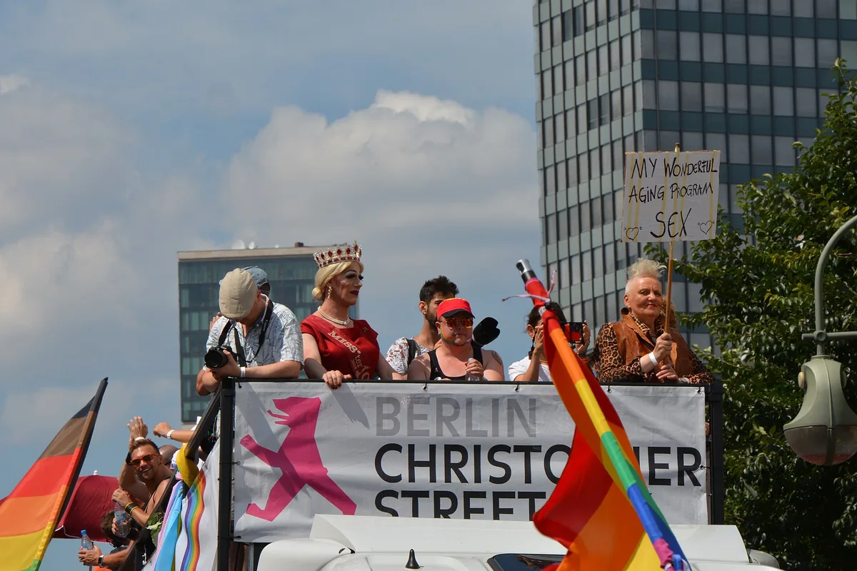
A route is a set of streets the city closes to traffic for the march. Floats, dancers, drag queens and amplified music move along it while spectators line both sides. Routes usually start at a wide staging area and end at a park or plaza where a festival waits. Some of these festivals provide a carnival-like atmosphere in a nearby park or city-provided closed-off street.
The route also has a meaning. A parade brings queer culture into public space, so streets that feel ordinary all year become the community's stage. At friendly events the dividing line between onlookers and marchers can be hard to establish, while in hostile settings that separation becomes very obvious.
Miami Geography Every Spectator Should Know
Miami and Miami Beach are not the same place. The main portion of Miami sits on the mainland, while the largest of Biscayne Bay's barrier islands contains Miami Beach and South Beach (Wikipedia). If a route or festival sits on the beach, the Venetian Causeway and MacArthur Causeway, which connect Downtown with South Beach, become the choke points to watch.
The city grid helps you read any map fast. Flagler Street forms the east-west baseline and Miami Avenue forms the north-south meridian, and most addresses carry a NW, NE, SW, or SE tag. Spot that prefix and you instantly know which quadrant of the city you are looking at.
Neighborhood Impacts to Expect
Expect road closures near the staging area, along the route, and around the festival site. Sidewalks fill first in dense, walkable areas. Restaurants and bars near the route often see long lines, while streets just off the route stay calm and much easier to park near. We covered a connected angle in Planning Your First Pride Parade: What to Bring and How to Stay Safe.
Residents should plan for noise and detours. Visitors should plan for slow rideshare pickups, because cars get stuck behind barriers. Many locals simply walk in. Miami's tropical weather allows for year-round outdoor activities, and there are over 80 parks and gardens in the city, so a quiet green escape is never far away.
Local roots matter here too. Pridelines, the oldest LGBT community center in South Florida, has been a partner of Miami Beach Pride for more than a decade. Partnerships like that keep routes and community needs connected over the years. For related coverage, see South Florida Pride Season: The Year-Round Calendar, Explained.
Smart Ways to Use Maps on the Day
Check the official route map before you leave home, then save an offline copy. Confirm which causeway you will use if the event touches the beach. Watch for posted parking rules, since temporary signs override the usual ones. Build extra time into every plan.
Treat the route as a moving wall during the event. If you need to cross it, walk to the nearest open cross street instead of pushing through the crowd. Keep a screenshot of your parking spot or hotel entrance, because closed streets can confuse even locals.
Conclusion: Read the Route, Enjoy the Day
A Pride parade route is a promise that these streets belong to the community for one day. Learn the map, respect the closures, and give the neighborhoods a little patience. Do that, and the floats, the music, and the crowds will feel like a celebration instead of a puzzle.